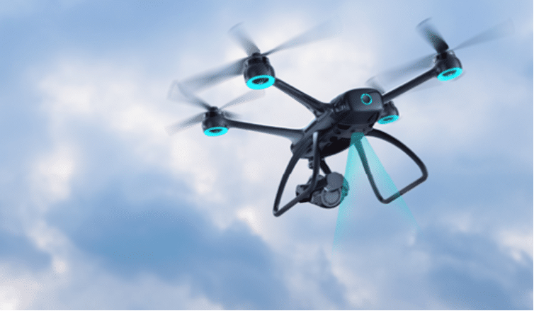
Unmanned Aerial Vehicles (UAVs) have become extremely valuable equipment in different industries like agriculture, infrastructure inspection, environmental monitoring, emergency responses, and other such areas. These drones provide a perfect way of capturing real-time imagery, delivering supplies to inaccessible locations, and monitoring otherwise unreachable destinations.
One of the core functions that underpin the success of UAV operations is the altitude determination function. Accurate altitude information enables UAVs to avoid obstacles, navigate complex terrain, and perform tasks with precision. For instance, in agriculture, a drone equipped with a LiDAR sensor for UAV can maintain a consistent altitude while spraying crops, ensuring even coverage and minimizing overspray or underspray.
With no more ado, let’s see how popular these devices have become in recent times. Follow us to explore the 5 significant advantages of the LiDAR sensor for UAVs in altitude hold/landing.
Market Demand of LiDAR Sensors for UAV
The drone LiDAR market is experiencing a rapid ascent, driven by increasing demand for accurate and dependable attitude control systems. This technology stands out for its capacity to deliver high-resolution, real-time data, positioning it as a leading choice for industries seeking trustworthy altitude management solutions.
IndustryARC’s report[1] forecasts a robust compound annual growth rate (CAGR) of 20.6% for the global drone LiDAR market from 2021 to 2026, with an anticipated market size of $325 million by 2026. Further bolstering this growth, DataIntello indicates that the market size was US$188.1 million in 2023 and projects a CAGR of 28% from 2024 to 2032, with the market potentially expanding to US$3.35 billion by 2032[2]. These projections underscore the significant and sustained expansion of the UAV LiDAR sector.
Limitations of Existing Altitude Determination Technologies
Another important reason for the increasing popularity of the UAV LiDAR sensor is the limitations in the existing altitude determination technologies. Here is how current technologies do not fulfill the needs of modern-day industries:
. Barometer
Barometric sensors depend on atmospheric pressure for altitude measurement. However they become inaccurate when the weather conditions like atmospheric pressure change rapidly. These fluctuations result in inaccurate altitude readings, which becomes problematic in high-precision applications.
. GPS
While GPS provides reasonable accuracy for horizontal positioning, it mostly falls short in vertical accuracy. Buildings, trees, and other physical obstacles impact GPS signals, which would give you inaccurate altitude measurements. You will mostly face these challenges in urban environments or dense forests where signal blockage is a big issue.
. Visual Sensors
Visual sensors, such as cameras and optical flow sensors, determine altitude by analyzing visual data from the ground or surrounding features. However, their performance is heavily dependent on lighting conditions. For instance, if you have to measure the altitude in low light, visual sensors will struggle to capture clear images.
Advantages of the LiDAR Sensor for UAV in Altitude Hold/Landing
A LiDAR sensor for a UAV offers several advantages that address the limitations of traditional altitude determination methods, making it essential for altitude-hold drones. Here is how:
1. High-Precision Altitude Measurement
A LiDAR sensor for a UAV can measure the distance between the drone and the surface below with extreme accuracy by emitting laser pulses and receiving the signals reflected from the ground or other obstacles. This high accuracy is essential to ensure that the drone maintains a stable altitude in complex terrain or dynamic environments, particularly for tasks that demand strict adherence to drone altitude limits, such as UAV delivery and drone shows.

2. Strong Anti-Interference Ability
Featuring excellent interference-free altitude measurement capabilities, a LiDAR sensor for a UAV is not affected by natural lighting changes. It can maintain measurement stability even in strong light conditions. In addition, the UAV LiDAR sensor does not rely on external signals. Therefore, it is immune to electromagnetic interference and multi-path effects. This independence allows drones to maintain highly accurate control in various environments, ensuring flight stability and landing safety.
3. Real-Time Dynamic Monitoring and Rapid Response
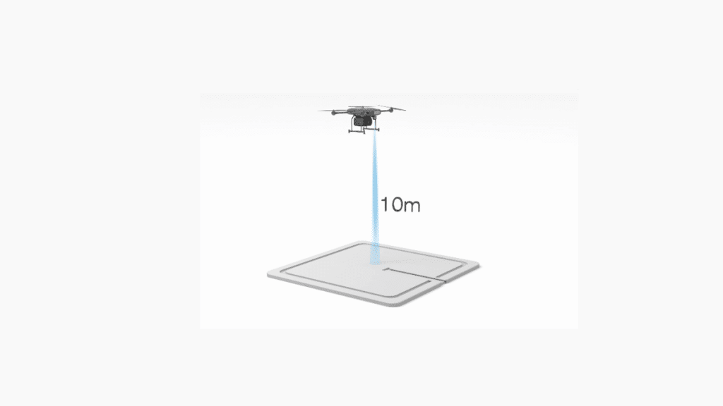
A LiDAR sensor of a UAV provides critical real-time altitude data, allowing for precise landings even in areas with poor GPS signals. Mounted underneath a drone, it can detect the distance from the radar to the ground directly below and provide feedback to the drone. This allows the drone to adjust its descent speed or flight altitude in real-time during descent or hovering, maintaining precise control even over uneven terrain.
4. Ability to Adapt to Complex Environments
LiDAR for drone detection technology enables UAVs to operate in complex and challenging environments. The UAV LiDAR sensor can detect different targets having different reflectivity and adapt to different ground surfaces, including grass, cement, marble, metal plate, asphalt, etc. By maintaining consistent performance on different surfaces, the LiDAR of a UAV contributes to a stable flight altitude, which is critical for operations that require a constant altitude for extended periods.
5. Seamless Autonomous Operation
During the landing process, a drone can autonomously adjust its flight posture and speed based on data provided by the LiDAR sensor of the UAV, ensuring stable and accurate landings at designated locations without human intervention. This autonomous takeoff and landing capability not only enhances the intelligence of the drone but also decreases the risks and costs associated with manual operation.
Benewake LiDAR Recommendation
Benewake is a leading manufacturer of high-quality LiDAR sensors for UAVs, recognized for their cost-effectiveness, lightweight design, and low power consumption. Their top offerings have seen remarkable success, with over 1 million units shipped. They maintain strong partnerships with numerous leading drone manufacturers, establishing a solid reputation in the industry.
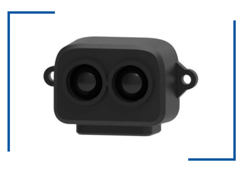
1. Benewake TF-Luna
- Benewake TF-Luna boasts dimensions of 35mm x 21.25mm x 13.5mm, allowing for easy installation on drones without compromising space or aerodynamics.
- With a weight of no more than 5 grams, this lightweight LiDAR significantly reduces the total weight of the drone, thereby enhancing its flight efficiency and endurance. During hovering and landing, it helps the drone consume less power to maintain its altitude and attitude.
- The power consumption does not exceed 0.35 watts. The energy-efficient design of the Benewake TF-Luna ensures minimal power consumption, making it a perfect selection for battery-operated drones due to its low demand for electrical energy.
- Equipped with adaptive algorithms for various environments and targets, Benewake TF-Luna can automatically adjust performance to suit different conditions. This ensures accurate distance measurement during hovering and landing, even in complex environments with limited visibility or uneven terrain.

2. Benewake New LiDAR
Building on the success of the TF-Luna, Benewake is proud to present its latest LiDAR, another exceptional choice for those seeking an advanced LiDAR sensor for a UAV.
- As one of the most accurate and precise tools for measuring AGL, this LiDAR sensor for a UAV meets the requirements of DO160-G.
- It can detect high-speed objects while achieving full coverage below a cruising altitude of 350 meters with 90% reflectivity, ensuring steady takeoff and landing.
- Combination with camera sensors, it can provide real-time measurements of target objects as small as 1.5 meters from 170 meters away with an accuracy of ±(0.1m + distance * 0.5%).
- As light as 5 grams, TFA170-L requires no dedicated processors, thereby saving weight and cost, reducing power consumption, and extending the cruising time of drones
- It supports a variety of interfaces, including Pixhawk, PX4, ArduPilot, Arduino, and Raspberry Pi, making it easy to integrate with existing drone systems.
Wrapping-Up
In conclusion, drone LiDAR technology has established itself as a critical component in advancing UAV capabilities, particularly in altitude hold and landing operations. LiDARs of Benewake are excellent choices for drone manufacturers seeking advanced LiDAR sensor of UAV that combines precision, efficiency, and adaptability.
Are you ready to revolutionize your altitude hold for drones with a UAV LiDAR sensor? Reach out to Benewake to learn more about how their technology can elevate your projects to new heights.
Reference
- Available at:
https://www.industryarc.com/Research/LiDAR-Drone-Market-Research-505394
- Available at:
https://dataintelo.com/report/drone-LiDAR-market

